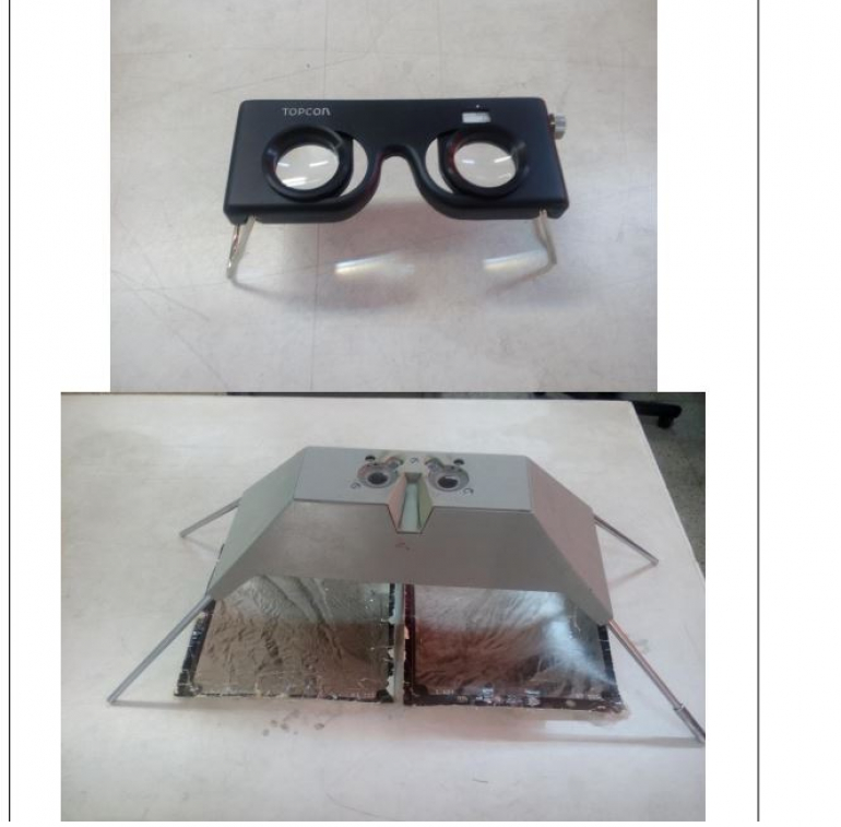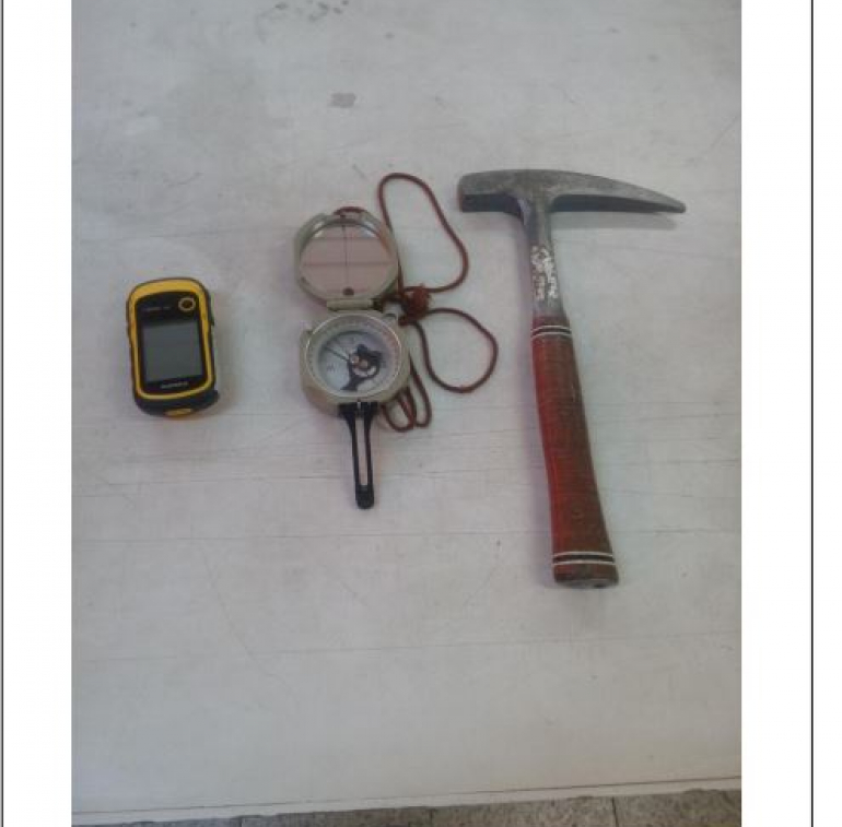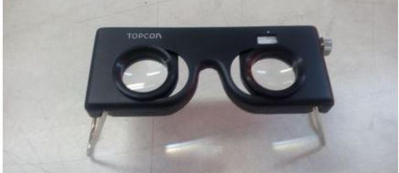
In this laboratory, cartography and aerial photography courses are offered for all mining engineering majors at the undergraduate level. In addition to mining students, two majors from the Faculty of Agricultural Engineering, including Soil and Water, also use the services of this laboratory in the form of a geological laboratory. In this laboratory, the method of preparation, use and uses of various maps and sections of topography and geology are introduced into the students. In addition to maps, the use and applications of aerial photographs are also examined. The instruments of this laboratory include pocket and mirror stereoscopes.
Alireza Etedali
Exploration
Staff, Lab Instructor
98-31-33915112
Email